Bolivia | Mapas Geográficos de Bolivia

Bolivia | Mapas Geográficos de Bolivia

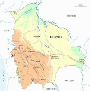
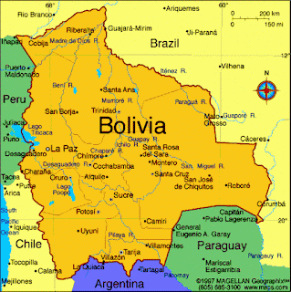
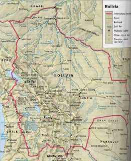
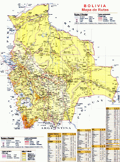
Bolivia (Estado Plurinacional de Bolivia) es un Estado independiente y soberano situado en el centro-oeste de América del Sur.

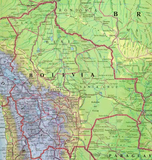
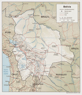
Limita al norte y al este con Brasil, al sur con Paraguay y Argentina, y al oeste con Chile y el Perú. Es, junto con Paraguay, uno de los dos países de Sudamérica sin litoral marítimo. Es también el octavo más extenso en el continente americano y el vigésimo séptimo a nivel mundial. La capital oficial y sede del poder judicial es Sucre y la sede del gobierno (poder ejecutivo y legislativo) es La Paz. 

BOLIVIA - MAPAS GEOGRÁFICOS DE BOLIVIA
www.klimanaturali.org
www.megatimes.com.br

Please Select Embedded Mode To Show The Comment System.*

Artículo Anterior Artículo Siguiente